SHEET / 02 — SERVICES
Reality capture and BIM deliverables you can build from
From LIDAR scanning to point cloud–to–BIM modeling and 360° virtual tours, we turn existing conditions into accurate, usable project data—delivered to your standards and timeline.
-

Project Consulting
Read more: Project ConsultingGet expert guidance on BIM strategy, capture planning, and delivery workflows for better results.
-
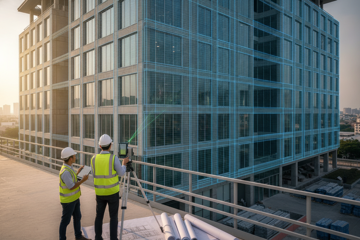
As-Built Modeling
Read more: As-Built ModelingCreate reliable as-built models and documentation that reflect completed conditions with precision.
-
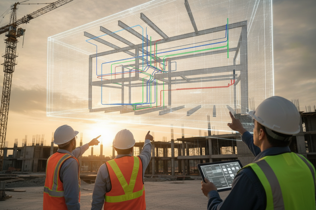
BIM Coordination
Read more: BIM CoordinationAlign design teams with coordinated BIM workflows that reduce clashes and improve project delivery.
-
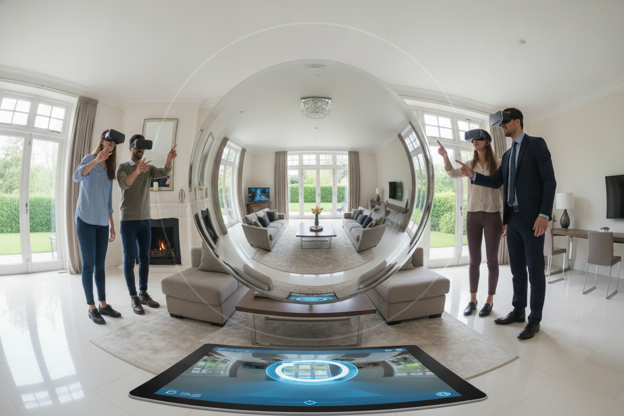
360 Virtual Tours
Read more: 360 Virtual ToursShowcase spaces with immersive 360° virtual tours for review, marketing, and remote access.
-
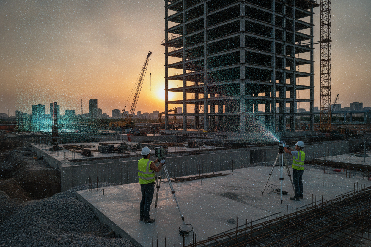
LiDAR Scanning
Read more: LiDAR ScanningCapture fast, high-precision site data with professional LiDAR scanning for projects of any size.
-
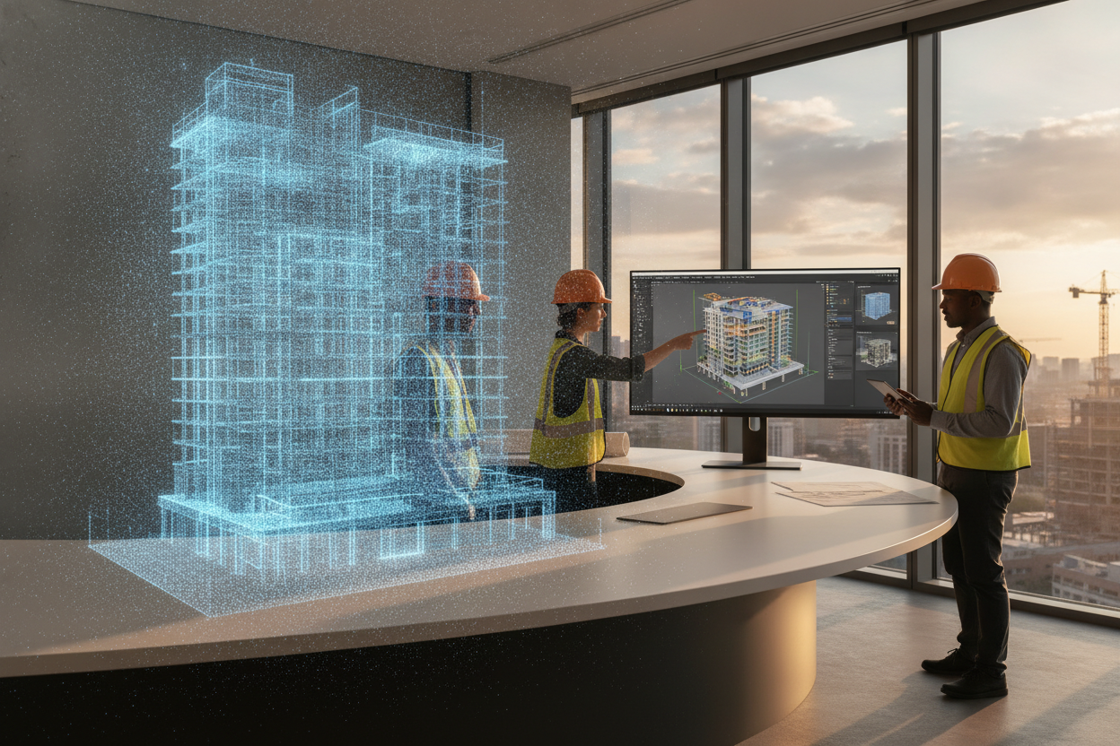
Pointcloud to BIM
Read more: Pointcloud to BIMConvert scan data into accurate BIM models for design, coordination, and documentation.
WORKFLOW / 02 — SERVICE METHOD
A clear process from capture to BIM-ready delivery
We run every project through a consistent, quality-controlled workflow—so you get accurate data, clean models, and deliverables that your design, construction, or FM teams can use with confidence.
S-01
Define
Align on scope, accuracy targets, areas to capture, file formats, and timeline—then confirm site access and safety requirements before mobilizing.
S-02
Capture
Collect reality data with LIDAR scanning, 360° imagery, and supporting photos/notes—covering the spaces and constraints that matter to your project.
S-03
Model
Convert point clouds into an organized BIM model, applying agreed LOD, naming standards, and disciplines—ready for coordination, drawings, or analysis.
S-04
Validate & Deliver
Run QA checks against the point cloud, resolve clashes or gaps, and deliver the model and exports with clear documentation for easy review and handoff.
SERVICE FAQ
FAQ: BIM Deliverables, Process, and Pricing
Get clear answers on what you receive, how we capture and model existing conditions, typical timelines, software formats, and what we need from your team to quote accurately.
Q-01
What deliverables do you provide for Pointcloud to BIM projects?
We deliver an as-built BIM model aligned to your required LOD/LOI and scope (architecture, structure, and/or MEP). Common outputs include Revit (.RVT), IFC, 2D sheets (plans/sections/elevations), and coordination views. We also provide a brief scope/assumptions note so stakeholders understand model limits, tolerances, and what was verified on site.
Q-02
How accurate is LIDAR scanning, and what affects accuracy on site?
Accuracy depends on project requirements, scan planning, and field conditions. We plan target coverage, station spacing, and control to achieve consistent, defendable results. Reflective surfaces, tight mechanical rooms, moving objects, and restricted access can reduce capture quality if not managed. We’ll confirm expected tolerances during scoping and recommend the right workflow for your use case.
Q-03
What do you need from us to start and to provide a solid quote?
To quote precisely, we typically need the project location, approximate area, access constraints, required deliverables (model disciplines, LOD, formats), and intended use (coordination, renovation design, FM, etc.). Any existing drawings, floor plans, or reference coordinates help, but they’re not mandatory. After a short call, we can propose a scope, timeline, and fixed price aligned to your decision deadlines.
Q-04
What is the typical turnaround time for scanning, modeling, and delivery?
Timelines vary by site size and complexity, but most projects follow a simple pattern: field capture first, then registration/QA, then modeling and review. Smaller interiors can move quickly, while large facilities or multi-discipline models take longer. We’ll confirm milestones up front, and we can prioritize phased delivery (e.g., critical areas first) when schedules are tight.
Q-05
Do you offer 360° virtual tours, and can they be combined with BIM?
Yes. Our 360° virtual tours are ideal for remote walkthroughs, progress documentation, and stakeholder alignment—especially when teams are distributed. Tours can be captured alongside LIDAR to minimize site visits and keep a consistent visual record. When requested, we can link tour viewpoints to key locations or include them as a reference package that complements the point cloud and BIM deliverables.
DOC / 04 — SERVICE INQUIRY
Send your drawings or scans. Get a clear BIM scope.
Tell us what you need—Pointcloud to BIM, Escaneo LIDAR, or 360° virtual tours. Share files, location, and deadlines. We’ll review your inputs and reply with deliverables, timeline, and a quote—no back-and-forth maze.
RESPONSE ≤ 48H
NDA AVAILABLE
REV 06
S-01 — FIRST DELIVERABLE
We confirm requirements, align on LOD and output formats, then deliver a first milestone so you can validate accuracy before full production.